The Lower Mainland is awash with bridges, three of which cross the Burrard Inlet. In the shadow of the Iron Workers Memorial Bridge sits the historic Second Narrows Rail Bridge, a critical link in the supply chain that transports Canadian commodities from the North Shore to world markets. While it earns little attention from most of us, it is a significant factor in the prosperity of the North Shore.
Since the early settler days at Moodyville, ideas have been floated for transportation links between North Vancouver and Vancouver. A regular ferry crossing came first, followed by the first road bridge to connect the North Shore with Vancouver. It opened on Saturday, November 7th, 1925, at Second Narrows; one year later a rail line was added carrying CN trains to the recently opened Lynn Creek Freight Yards.

First train to cross Second Narrows Rail/Road Bridge, June,3, 1926,. Courtesy City of Vancouver Archives, Item: 709-286.
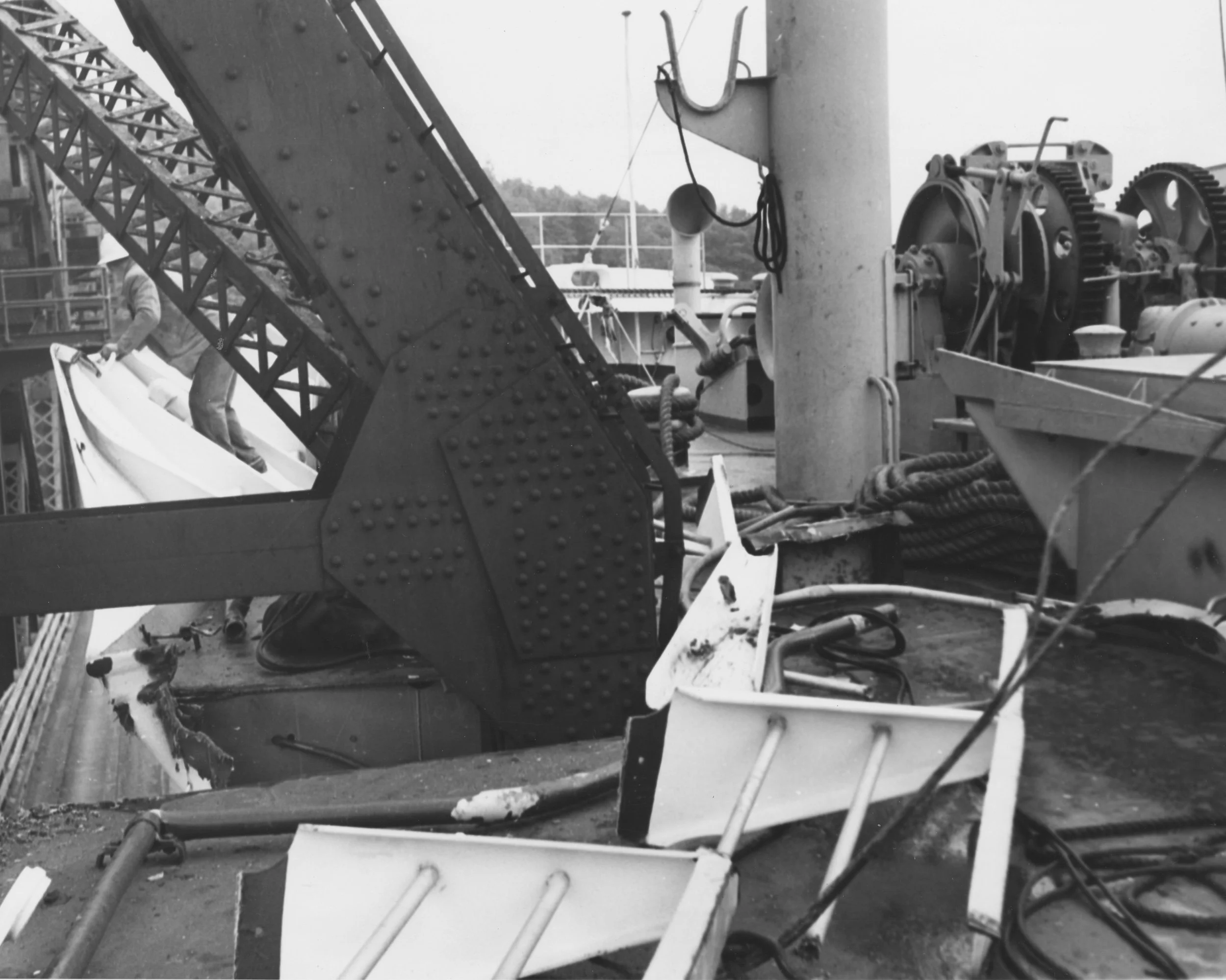
But marine traffic also requires passage and that meant the new bridge had to be able to open to allow clearance for vessels through the narrows. The original bascule bridge, with a pivoting section, used counterweights and was operated by a bridge master. The 1968 replacement bridge, still in use today, must also allow safe passage for vessels. It is a vertical lift bridge that is kept at the up position, unless there is permission for a train to make the crossing at which time the centre span is lowered. Formerly, there was a bridge crew who oversaw the bridge operation, but today it is controlled remotely.

View of the Original Second Narrows Road & Railway Bridge -Courtesy of MONOVA/North Vancouver Archives, Inventory No 12904
On that opening weekend, after years of relying on ferries to traverse the inlet, excited citizens flocked there by foot and in their cars to make the crossing, paying 15 cents for the car and 5 cents per passenger and pedestrian. The toll was at the north end of the bridge and while a nickel seems like small change today, times were hard and the toll often presented a barrier.
North Shore resident, David Perfitt, heard family stories from his father and uncles about the new bridge and the tolls. His Dad’s best friend, Bob, described fondly as a young rascal, figured out how to avoid paying the toll by climbing through the understructure. David has twin uncles, still alive today, who recall being chased off the moveable span of the bridge by the operator as he cleared it to open for a vessel. During the Depression, his grandfather and others enjoyed a Sunday afternoon stroll on the bridge there and back from the south side, avoiding the 5 cent toll.
The new bridge opened up opportunities for people to explore the North Shore, and it also opened the area to the expansion of the waterfront industry that had started with Moodyville. In 1928, the first grain elevator opened, built where Moodyville had been. The development of Low Level Road and a parallel rail line extended the waterfront transportation corridor. While Low Level road has been greatly improved, most readers will recall driving along that road with the rail cars just feet away.

April, 10, 1928, view of the Low Level Road, looking east towards the former site of Moodyville Mill. There is a single car westbound on the road. - Courtesy of MONOVA/North Vancouver Archives, Inventory No 13285

Low Level Road , circa 1929, at the foot of St. Patricks Ave which was part of old Moodyville. Midland Pacific Grain Terminal, which opened 1928, is in the distance. Courtesy of MONOVA/North Vancouver Archives, Inventory No 3349
If you are a follower of North Shore Heritage’s Blog posts, you may have read in September about Scottish, Sapper, John Linn and his Promised Land. That promised land, a reward for service as a Sapper, was Lynn Creek where he and his wife Mary built a cabin by the waterway where they raised their children who attended a one room school at Moodyville, the North Shore’s first settlers’ community. They could never have imagined how the Lynn Creek area would change from quiet waterway to massive freight train yard and port.

Aerial view of North Vancouver from waterfront to mountains. Low Level Road and Midland Pacific Grain Elevator in foreground where Moodyville had been located. Courtesy of MONOVA/North Vancouver Archives, Inventory 9682
Use of the new rail bridge came to a sudden stop in 1930. From its opening, the bridge was plagued by collisions that occurred frequently over many years; the currents being a navigational challenge. And it didn’t help matters that “the bridge was low, and the bascule was built near the south shore in shallow water in order to eliminate the cost of constructing two expensive towers for a lift span--against the recommendations of shipping experts”.
The major incident that closed it for four years occurred on September 19th, 1930, when a bulk log boat, The Pacific Gatherer, and its tug, The Lorne, became wedged under the bridge and took out an essential 300 ft. central span closing the bridge until November 1934, at which time the Provincial Government took over the structure. David Perfitt notes that before the Pacific Gatherer collision, and the shutdown of the bridge for four years, there had been significant and effective resistance to the construction of the Lions Gate Bridge. The calamity clearly clarified the necessity of a first narrows bridge and resistance turned to approval with the Lions Gate Bridge opening on November 14, 1938.

1930 The tug "Lorne" and the "Pacific Gatherer" after latter's collision with the Second Narrows Road-Rail Bridge. Courtesy of MONOVA/North Vancouver Archives, Inventory No 15597
Before that, also in 1930, the SS Losmar damaged a span and in 1927 serious collision damage had occurred from an American freighter, the Eurana, and a tug, the Shamrock. In 1928, it was again struck, this time by the British steamship the Norwich City. Finally, in 1954, the Norwegian MV Bonanza became impaled on the west wind strut of south tower of the lift span.

Aerial view showing bridge and S.S. Losmar just before she was pulled off by tugs : April 24, 1930 Courtesy City 86Vancouver Item : CVA 709-287

April 24, 1930, View if raised bascule and part of damaged 150ft span. Courtesy City of Vancouver Archives, Item CVA 709-299.
View south of Norwegian MV "Bonanza" impaled on west wind strut of south tower of lift span of old Second Narrows Bridge, July 1954. Courtesy of MONOVA/North Vancouver Archives, Inventory No 5555
In 1960, the six lane Iron Workers Memorial Bridge opened for vehicle traffic. The opening came two years after an engineering calculation had caused a tragic, fatal collapse during construction, killing 18 workers. The new road bridge meant that the 1925 bridge remained, but only as a rail bridge. Eventually, CN Rail decided that a replacement rail bridge should be built alongside the existing one and after it opened in 1968, the 1925 bridge was demolished. In 1979, the new rail bridge was closed for several months after the ship, Japan Erica, collided with it in heavy fog.

Aerial view of three bridges over Second Narrows: New rail bridge (1969), original Second Narrows Bridge (1925) and new Second Narrows Bridge (1960). Courtesy of MONOVA/North Vancouver Archives, Inventory No 10006
In 1969, the south side Thornton Tunnel, built by CN, opened to connect the bridge rail traffic with the Willingdon line. It is named for Sir Henry Thornton, an American who was CN's first President in 1922, and it runs under Vancouver Heights and Willingdon Heights. Tunnels require ventilation and ventilation shafts. The ventilation shaft for the Thornton Tunnel surfaces 45 meters above the midpoint of the 3.4 km tunnel in a residential Burnaby area at the corner of Frances and Ingleton. At first glance, there appears to be a house on the generous corner lot, but what looks like a house is a coverup for the necessary ventilation shaft and fans used for the safety of the tunnel and train crews. But even with the air vent shaft, crews have had to wait 20 minutes for the air to clear between trains, although there have been recent updates at the shaft site to reduce this time. When I visited the location of the fake house, gardeners were at work on the property. A passing neighbour told me that recent work had indeed been done at the site to improve air quality in the tunnel.

Photo of tunnel ventilation fake house at Frances and Ingleton, Burnaby. Courtesy, Colin Lawrence.
Various reports identify the Second Narrows vertical lift rail bridge, with its dual function for passage of marine and rail traffic, and the one lane Thornton tunnel, with its clear the air time waits, as a bottleneck in the rail traffic flow to and from the North Shore. While the original rail bridge was replaced in 1968, it is interesting to realize that a one-track bridge remains the primary rail link to and from the North Shore.
The Canadian Federation of Agriculture wrote in 2018 that “two bridges and one tunnel govern the Vancouver corridor capacity for all railways.” They are the Second Narrows Rail Bridge, the Thornton Tunnel and the New Westminster 1904 swing-arm rail bridge across the Fraser River. The latter carries several train lines from freight to the Rocky Mountaineer. Transport Canada stated in a report that demand will surpass the NW swing bridge capacity before 2030.

The 1904 New Westminster Swing Rail Bridge. Wikipedia. Public Domain
Where Moodyville once flourished as a North Shore community and port exporting lumber, today’s port continues to expand and flourish, shipping commodities such as grain from the Prairies, wheat, durum, canola & barley. The grain arrives by train to be shipped around the world and on its long journey from the Prairies, it travels across the 1904 New Westminster swing bridge, through the Thornton Tunnel and across the single track Second Narrows Rail Bridge to the Lynn Creek Rail Yards.
The Second Narrows Rail Bridge earns little attention from most of us even though it is a critical link between the North Shore and the Lower Mainland’s rail network and, by extension, all points east.
Except where indicated, text and images Copyright @ North Shore Heritage and Anne-Marie Lawrence. All rights reserved. Republication in whole or in part is prohibited without the written consent of the copyright holder.
CREDITS and SOURCES
MONOVA, North Vancouver Archives, with special thanks to Christy Brain.
David Perfitt, North Vancouver resident who has a wealth of knowledge about the North Shore. Thank you for your information about the bridge including family stories.
North Shore News. March, 15, 2020. July, 11, 2021. https://www.nsnews.com/in-the-community/time-traveller-the-first-second-narrows-bridge-1925-3118875
Vancouver is Awesome, January 14, 2019. https://www.vancouverisawesome.com/courier-archive/news/vancouver-port-development-dealt-difficult-bridge-hand-3091578
Vancouver is Awesome, July 20, 2016. https://www.vancouverisawesome.com/history/history-of-metro-vancouver-second-narrows-bridge-1930-1932465
ABE BOOKS: Norwich City and the Second Narrows Road and Rail Bridge. Quote used: “the bridge was low, and the bascule was built near the south shore in shallow water in order to eliminate the cost of constructing two expensive towers for a lift span--against the recommendations of shipping experts”. https://www.abebooks.com/first-edition/Second-Narrows-Bridge-North-Vancouver-British/31474176389/bd
Canadian Federation of Agriculture, the Canadian Grain Supply Chain. Quote used: Two bridges and one tunnel govern Vancouver corridor capacity for all railways. https://www.cfa-fca.ca/wp-content/uploads/2018/03/2018_02Feb-CFA-AGM-Expanding-Capacity-for-the-Future_FINAL_3.pdf
Vancouver Fraser Port Authority, Second Narrows (rail) Bridge Capacity https://www.portvancouver.com/wp-content/uploads/2020/11/2019-12-Second-Narrows-Bridge-Capacity-Analysis.pdf
Geo Caching – Thornton Tunnel https://www.geocaching.com/geocache/GC1R307
Canola Digest: The Port of Vancouver is the major gateway for canola exports to Asia. https://canoladigest.ca/november-2020/story-about-a-bridge/
Photo details 1. Wikipedia / Public Domain https://trek.zone/en/canada/places/239242/new-westminster-bridge-surrey
https://www.tpsgc-pwgsc.gc.ca/biens-property/construction/new-westminster-eng.html